Introduction to Tawau's Land & Geology
Tawau's land and geology shape its forests, rivers, soils, and settlements. Over millions of years, tectonic uplift, volcanic eruptions, weathering, and erosion created the fertile soils, rolling highlands, and productive coasts we see today.
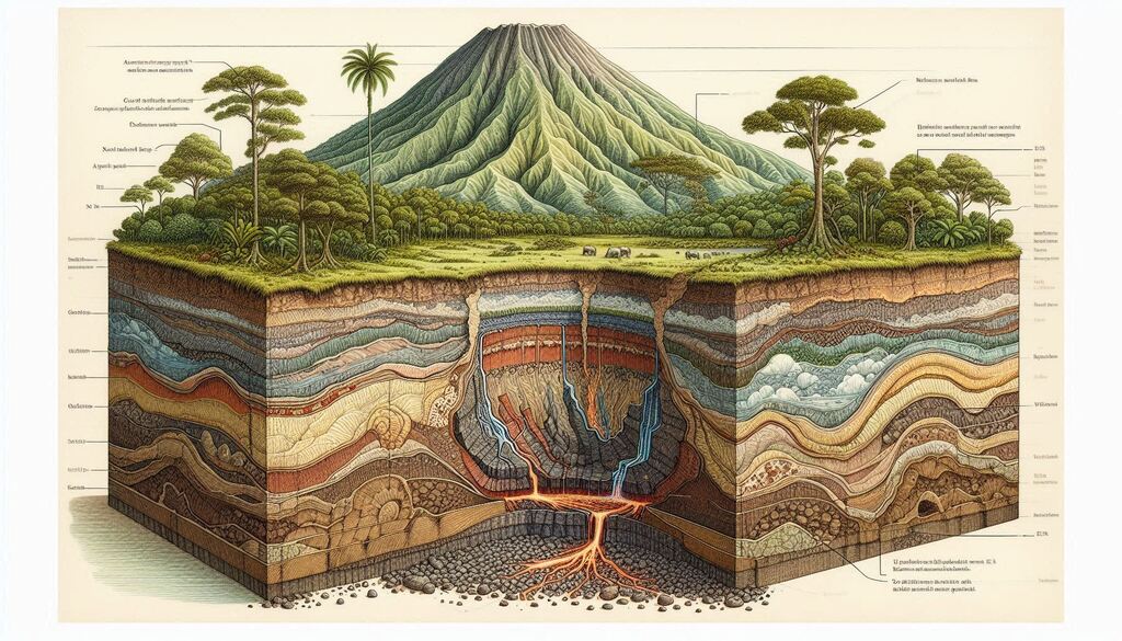
In southeastern Sabah, tectonic forces raised older rock layers into hills and broad uplands. Later, volcanoes spread lava and ash, reshaping the terrain. Rainfall and rivers gradually eroded these volcanic deposits, carving valleys and gentle slopes instead of sharp peaks. This long history gave Tawau its distinctive volcanic uplands.
Volcanic rocks break down into nutrient-rich soils that retain water and minerals. These soils support dense tropical forests, diverse ecosystems, and productive agriculture. Geology, therefore, directly influences vegetation patterns and biodiversity.
Mountains and highlands also regulate rainfall. Moist air rises, cools, and falls as rain, turning uplands into natural catchments. Water seeps into soils and flows slowly into streams and rivers, sustaining lowland forests, wetlands, settlements, and coastal ecosystems.
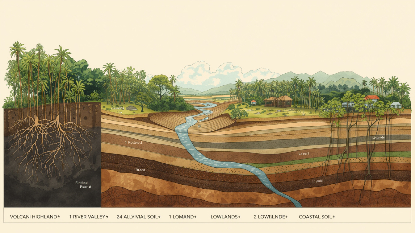
Rivers carry sediments from the highlands to floodplains and the sea, linking inland geology with coastal life. Tawau Hills Park showcases this history, with volcanic rocks, rugged terrain, and hot springs revealing the region's dynamic past.
Understanding Tawau's geology shows how rocks, soils, water, and living systems are deeply connected.
Mountains & Highlands
Tawau is home to several mountain ranges and highlands, including the Crocker Range foothills and other prominent peaks. These mountains influence rainfall, river flow, and forest types.
Explore Mountains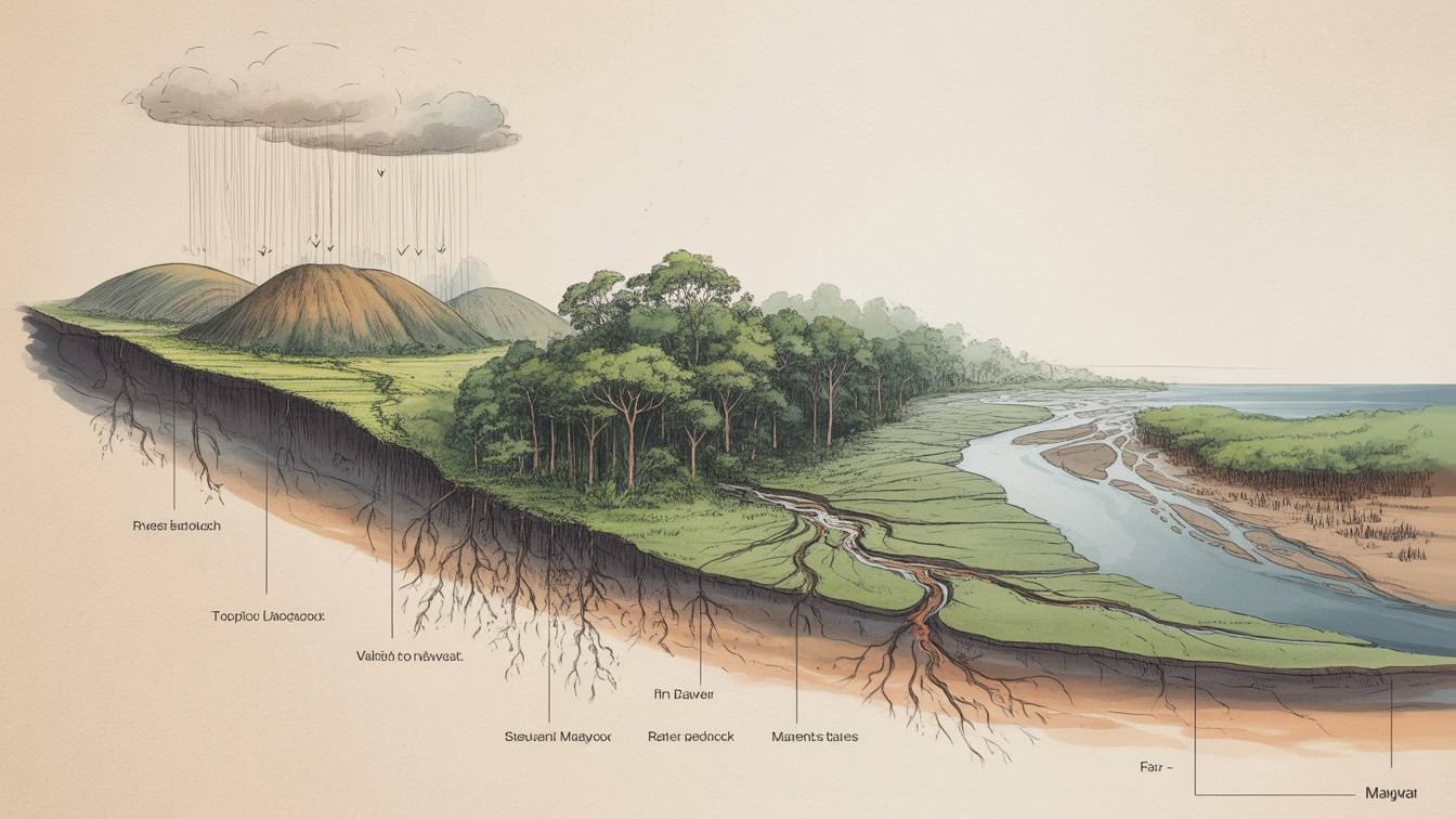
Rivers & Watersheds
Rivers carve Tawau's landscape, providing freshwater, shaping valleys, and forming estuaries that support coastal ecosystems. Major rivers like the Tawau River feed into mangroves and the Celebes Sea.
Explore Rivers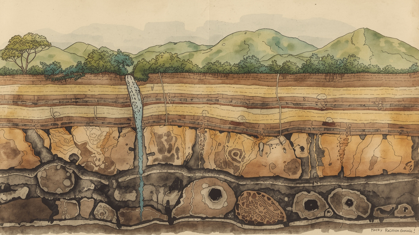
Soil Types & Fertility
Tawau's soils range from fertile volcanic soils in highlands to sandy coastal soils. Soil types influence vegetation, agriculture, and forest growth.
Discover Soil Diversity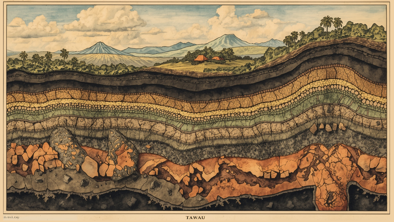
Mineral Resources & Rocks
Tawau has diverse geological formations, including sedimentary rocks, igneous intrusions, and mineral deposits. Understanding the geology helps explain natural resources and historical mining activity.
Learn About MineralsVolcanic History & Land Formation
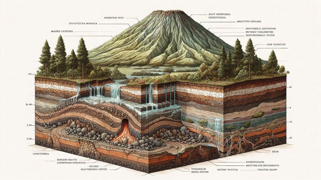
Volcanic activity and tectonic movements have shaped Tawau's landscape over millions of years. Ancient eruptions, lava flows, and uplifted landforms contribute to mountains, valleys, and fertile soils.
Much of Tawau's volcanic geology is best observed within Tawau Hills Park, where volcanic rocks, hot springs, and rugged terrain tell the story of the region's fiery origins.
Did You Know?
Tawau's land tells a deep geological story. Millions of years ago, volcanic eruptions spread layers of lava and ash across the region. Over time, these materials weathered into nutrient-rich volcanic soils, supporting dense forests, diverse wildlife, and productive agriculture today.
Tawau's mountains and highlands also act as natural water towers. Rainfall captured by forested uplands feeds rivers that supply freshwater to lowland communities, wetlands, and coastal ecosystems.
Many of these geological features can still be observed in protected areas such as Tawau Hills Park, where volcanic rocks, hot springs, and rugged uplands reveal the region's geological past.